3.4 Study Area
- A buffer of 10 nm has been applied around the site boundary, as shown in Figure 3.2, as the study area for shipping and navigation (hereafter the ‘shipping and navigation study area’). This is a standard buffer for shipping and navigation and has been used in the majority of NRAs for UK offshore wind farms. It also aligns with the approach detailed in the Array EIA Scoping Report (Ossian OWFL, 2023), and has been presented to key shipping and navigation stakeholders including at the Hazard Workshop (see section 4.3).
- The shipping and navigation study area has been defined in order to provide local context to the analysis of risks by capturing the relevant routes, vessel traffic movements and historical incident data within and in proximity to the site boundary. Navigational features deemed of relevance located wholly or partially outside the shipping and navigation study area are considered where appropriate, e.g. Seagreen 1 Offshore Wind Farm.
- Cumulative development screening and the associated routeing assessment has been undertaken within a 50 nm buffer of the Array perimeter.
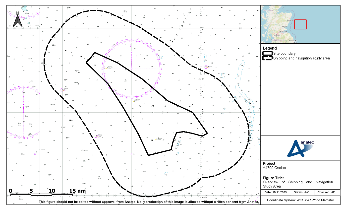
Figure 3.2: Overview of Shipping and Navigation Study Area